Pikes Peak Marathon

Регистрация и разблокировка эксклюзивных функций
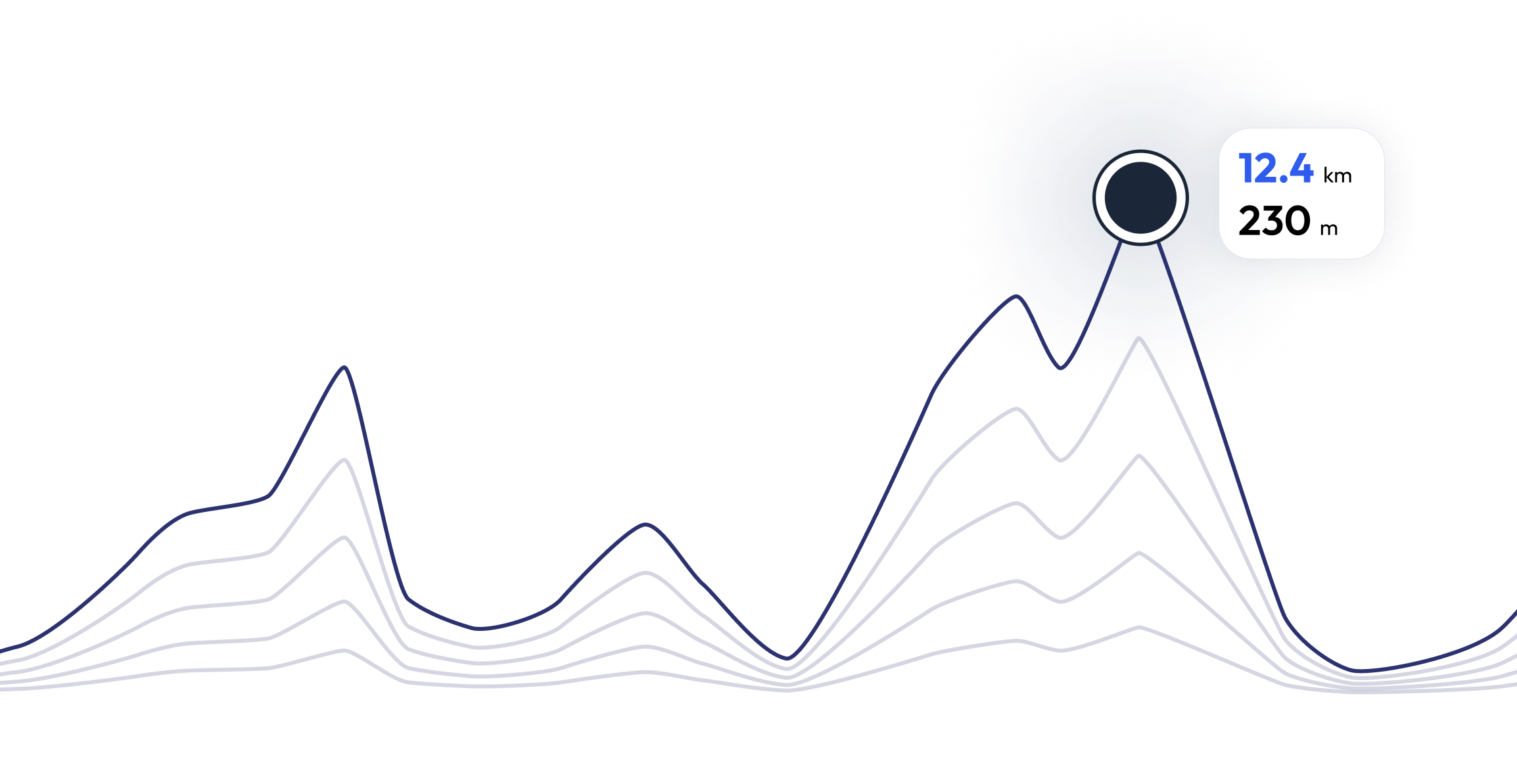
Pikes Peak Marathon - найдите свой идеальный темп бега 25.6 mi
ВОПРОСЫ И ОТВЕТЫ - Pikes Peak Marathon 25.6 mi
Because of the nature of the run (dirt trails, rock, and other natural obstacles) and the high altitude, the race is much more difficult than standard 42.195-kilometer (26.219 mi) marathons. Winning times for the marathon are typically just under four hours (compared to elite "flatland" marathon times of just over two hours). Although the average grade of the slope is 11%, some sections are much steeper because the central portion of the race is relatively flat. The initial three miles (5 km) are very steep. The central 7 miles (11 km) start as rolling terrain, but become progressively steeper toward the end. The top 3 miles (4.8 km) are above timberline and require some rock scrambling to reach the summit. Oxygen levels drop progressively as altitude rises, further compounding the uphill ordeal.
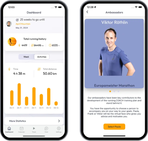
Поезд для 25.6 mi - Pikes Peak Marathon


Что говорят о нас бегуны?
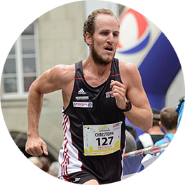
Said López
running.COACH помог мне спланировать весь мой сезон на год. Мне нравится гибкость, с которой корректируется план тренировок при изменении годовой цели. Я очень доволен тем, как он планирует мою неделю, точностью измерения темпа и пульса, а также простотой использования приложения. Я нахожу приборную панель очень точной, а статистика помогает мне вести четкий обзор из недели в неделю. В этом году моя цель - набрать 800 очков ITRA на трех горных ультрамарафонах в Колумбии, и я надеюсь сделать это с помощью running.COACH.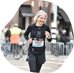
Karin Stoop
С программой тренировок от running.COACH я смог реализовать цель "марафон" в течение года с помощью разнообразного плана тренировок, адаптированного к моим показателям. Впечатляет, насколько индивидуально подобрана эта программа онлайн-обучения. Сбылась моя мечта - закончить марафон. Различные тренировочные блоки и заметный прогресс очень мотивируют.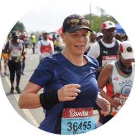
Monika Cremosnik
Thanks to the support of my running.COACH Gold Coach, Stefanie Meyer, this year became my year of success! Intensive and always personalised training plans and always the right words and encouragement have helped me to realise my dreams. I am now a finisher in the ultramarathon in South Africa, the Comrades Marathon.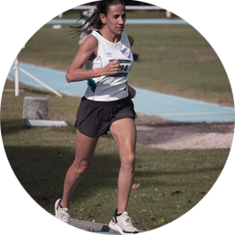
Silvia Perez
Когда я только начал тренироваться с running.COACH, мне было трудно снизить интенсивность каждой тренировки. Но я продолжала, потому что верю, что "меньше - значит больше". С running.COACH я могу не только улучшить свое время и достичь своих целей, но и чувствовать себя сильной и в очень хорошей форме. Это позволяет мне закончить гонку счастливым и продолжать делать то, что я люблю больше всего: RUNNING!!!!. Переведено с помощью www.DeepL.com/Translator (бесплатная версия)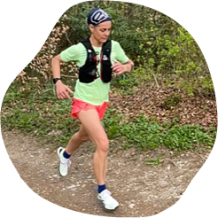
Angela Heller
"Когда я снова начал бегать после долгого перерыва, мне было ясно, что я хочу тренироваться структурированно. С упоминанием "Viktor Röthlin" моя уверенность возросла, и я купил свой первый абонемент - серебряный. Я с самого начала был полон энтузиазма, и моя мотивация росла от тренировки к тренировке. Я очень точно следовал инструкциям, и результат для моей большой цели, SwissAlpine K43, был соответственно идеальным!"