Swiss Irontrail
Surses
,
Switzerland
27 - 28 Jun 2026
Dieser herausfordernde Trailrun-Event führt dich durch atemberaubende Landschaften, vorbei an majestätischen Berggipfeln und glitzernden Bergseen. Erlebe die Faszination des Trailrunnings, während du deine Ausdauer und Entschlossenheit auf die Probe stellst.
48.5
mi
T78
48.5mi
15899ft
15899ft
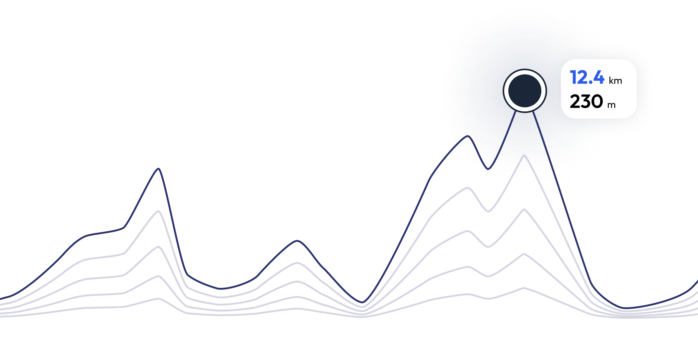
Register and unlock exclusive features
Registered community members can navigate each section of the elevation profile, and follow the coordinates on the map. They can also download the gpx file. Unlock these and many other exclusive features in a couple of clicks
Swiss Irontrail - Find your perfect running pace 48.5 mi
Curious what pace you need for each section of the course to reach your target time based on the elevation profile of the race? Try our pace calculator and discover different scenarios to optimize your Swiss Irontrail race tactics.
Calculated running time
06:30:00
0
km
22
m
4.33
min/km
1
km
102
m
5.12
min/km
2
km
83
m
4.47
min/km
3
km
11
m
4.23
min/km
4
km
26
m
4.32
min/km
FAQ - Swiss Irontrail 48.5 mi
Der T78 verspricht ein episches Trailrun-Abenteuer mit anspruchsvollen Aufstiegen zu beeindruckenden Pässen und atemberaubenden Berglandschaften. Mit über 4000 Höhenmeter ist dies eine Herausforderung für Trailrunner:innen auf der Suche nach unvergesslichen Erlebnissen.
Swiss Irontrail takes place between 27 Jun 2026 and 28 Jun 2026
Swiss Irontrail takes place in Surses, Switzerland
Swiss Irontrail: There are a total of 4 courses
The shortest distance available is 12.6 km, and the longest on is 48.5 km
Although there is no general rule for the minimum preparation time, we recommend at least 12 weeks of training for a race like Swiss Irontrail
If you want to prepare for Swiss Irontrail, running.COACH offers dynamic training plans tailored to the requirements. Whether you're training for distance, speed or endurance, we have customized plans to help you reach your full potential on race day.
Register now
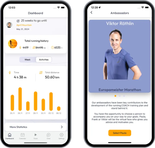
Train for 48.5 mi - Swiss Irontrail
Swiss Irontrail - Prepare yourself optimally for your race with running.COACH! Our training plans, supported by artificial intelligence, dynamically adapt to your progress and help you achieve your target time. Whether you're aiming for a personal best or planning a successful finish, structured workouts, precise feedback and intelligent adjustments will keep you motivated and well prepared. Become part of a community that will get you to the finish line stronger than ever before!
What runners say about us?
Be part of Swiss Irontrail – Join the running.COACH community and take your training to the next level!


