Tuscany Crossing

Register and unlock exclusive features
Tuscany Crossing - Find your perfect running pace 33.6 mi
FAQ - Tuscany Crossing 33.6 mi
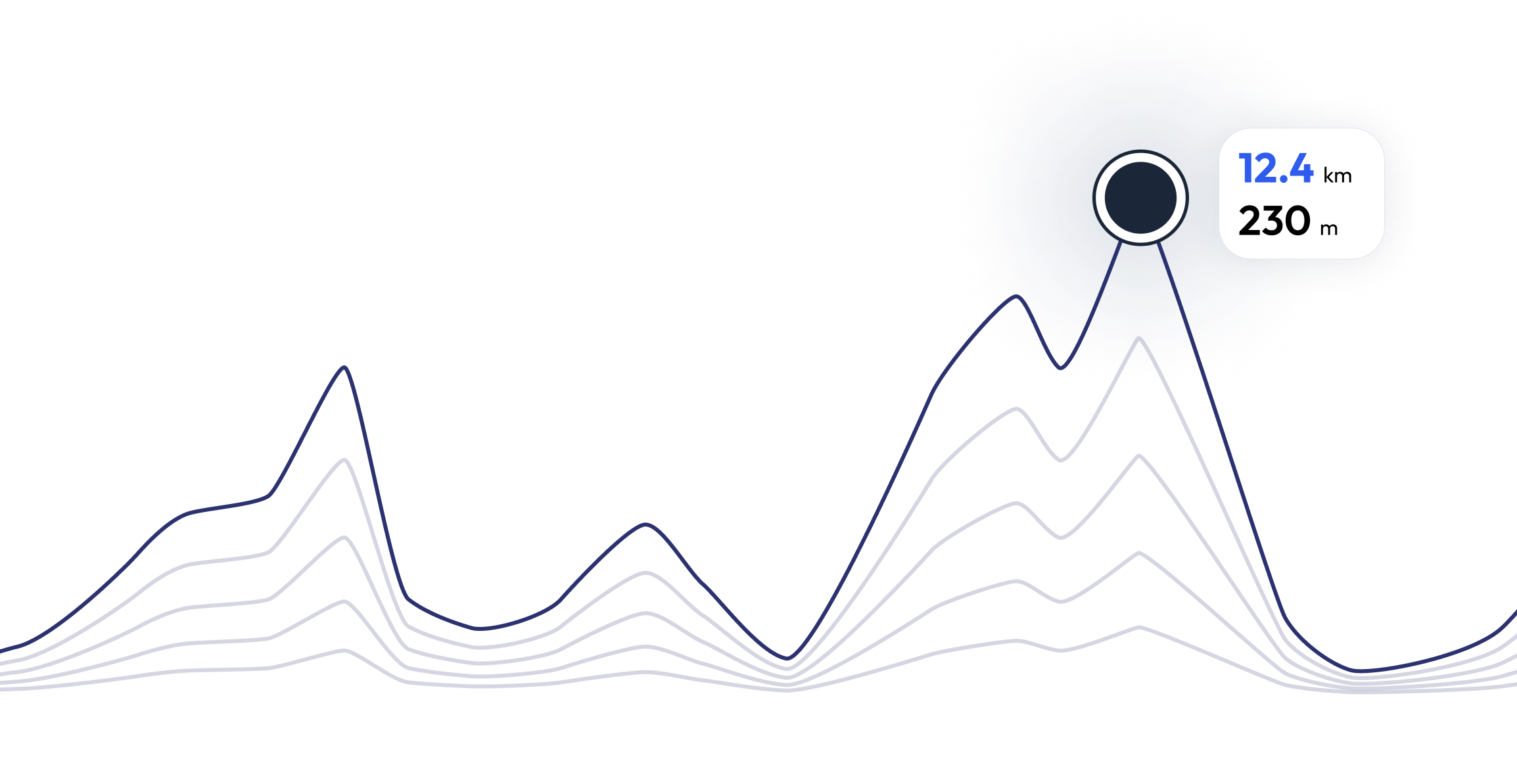
km 53 D+ 1550 mt tempo classificati entro 11 ore The 50 km will start from Castiglione d'Orcia at 5.30 from the "Tuscany Crossing" Events Center and after passing through the villages of Castiglione d'Orcia and the Rocca di Tentennano (your lighthouse for the entire race) Rocca d'Orcia and go down to cross the Orcia river in Le Mulina to go to the ancient Bagno Vignoni spa, famous for its pool in the center of the village, then go up to the Rocca di Vignoni Alto then San Quirico d'Orcia, a rich town of history located on the Via Francigena where Frederick Barbarossa was crowned Emperor of the Holy Empire, you will cross the lands made famous by the film "The gladiator" with its Elysian Fields and the church of Madonna di Vitaleta, to reach Pienza, the ideal city desired by Pope Pius II now a UNESCO World Heritage Site, still hills and you get to Monticchiello, a town rich in history and recently famous for its "Teatro Povero" where all the inhabitants of the village play, you go down the Via Agogna where you can enjoy a 360 view ° of the Valdorcia, the River Orcia is waded again and you get to Gallina where there will be the last refreshment and go up to get to Podere Il Pozzo where there will be the detour that will take you to the arrival. It is necessary to calibrate the water and food supplies well.The refreshment points are located in the villages at irregular distances, we remind you that the race is semi-self-sufficient and the Valdorcia is a land of wind and desert and in this path the valley is exposed to the sun and in spring it can do very hot.
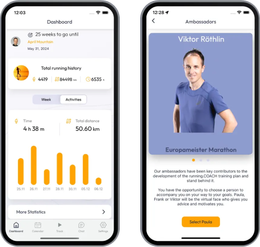
Train for 33.6 mi of Tuscany Crossing


What runners say about us?
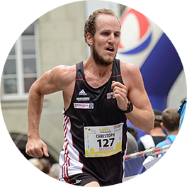
Said López
running.COACH has helped me plan my entire season for the year. I love the flexibility with which the training plan is adjusted when an annual goal changes. I am very happy with the way it plans my week, the accuracy of the pace and heart rates, and the ease of use of the app. I find the dashboard very accurate and the stats help me keep a clear track week after week. This year my goal is to reach 800 ITRA points at three mountain ultras in Colombia, and I hope to do it with the help of running.COACH.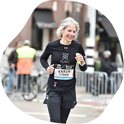
Karin Stoop
With the training program from running.COACH, I was able to achieve the goal of a "marathon" within a year with a varied training plan that was adapted to my performance. It is impressive how tailor-made this online training program is. My dream of finishing a marathon has come true. The different training units and the noticeable progress are very motivating.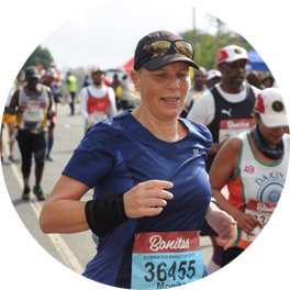
Monika Cremosnik
Thanks to the support of my running.COACH Gold Coach, Stefanie Meyer, this year became my year of success! Intensive and always personalised training plans and always the right words and encouragement have helped me to realise my dreams. I am now a finisher in the ultramarathon in South Africa, the Comrades Marathon.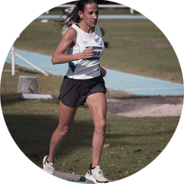
Silvia Perez
When I started training with running.COACH I found it hard to lower the intensity of each workout. But I continued because I believe that "less is more". With running.COACH I not only continue to improve my times and meet my goals but I feel strong and in very good shape. This is what allows me to finish a competition happy and keep on doing what i like the most: RUNNING!!
Angela Heller
"When I started running again after a long break, it was clear to me that I wanted to train in a structured way. With the reference 'Viktor Röthlin' my confidence grew and I bought my first subscription, a silver subscription. I was enthusiastic from the beginning and my motivation increased from training session to training session. I followed the instructions very precisely and the result for my big goal, the SwissAlpine K43, was correspondingly perfect!"