LGT Alpin Marathon
Malbun
,
Liechtenstein
14 Jun 2025
LGT Alpin Marathon - Be part of the starting field at 14 Jun 2025 in Malbun, Liechtenstein. With distances ranging from 1.5 km to 25.8 km, this event offers the perfect challenge for all participants. Against the beautiful backdrop of Malbun, an unforgettable experience awaits you - whether you want to test your limits or simply enjoy the course.
5
Runners from running.COACH
1.5
mi
LGT Alpin Nachwuchslauf
1.5mi
0ft
0ft
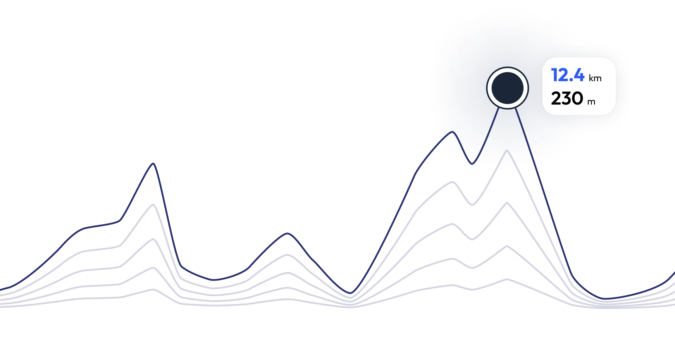
Do you have the GPX data?
If you are the organizer of the race, or you just ran the course already and you have the GPX file, we would really appreciate that you take the time to update our database.
FAQ - LGT Alpin Marathon 1.5 mi
einfacher Rundkurs im Zielgelände des Marathons in Malbun à ca.600m pro Runde
LGT Alpin Marathon is carried out at 14 Jun 2025
LGT Alpin Marathon takes place in Malbun, Liechtenstein
LGT Alpin Marathon: There are a total of 4 courses
The shortest distance available is 1.5 km, and the longest on is 25.8 km
Although there is no general rule for the minimum preparation time, we recommend at least 12 weeks of training for a race like LGT Alpin Marathon
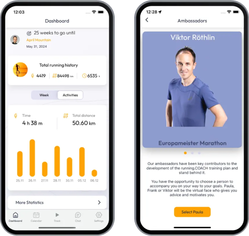
If you want to prepare for LGT Alpin Marathon, running.COACH offers dynamic training plans tailored to the requirements. Whether you're training for distance, speed or endurance, we have customized plans to help you reach your full potential on race day.
Register now
Train for 1.5 mi of LGT Alpin Marathon
LGT Alpin Marathon - Prepare yourself optimally for your race with running.COACH! Our training plans, supported by artificial intelligence, dynamically adapt to your progress and help you achieve your target time. Whether you're aiming for a personal best or planning a successful finish, structured workouts, precise feedback and intelligent adjustments will keep you motivated and well prepared. Become part of a community that will get you to the finish line stronger than ever before!
What runners say about us?
LGT Alpin Marathon - Join the community of 5 running.COACH members participating in the event


