GTPE Picos de Europa
Asturias
,
Spain
27 Jun 2026
GTPE-70 km will run along the following route: Benia de Onís, Bobia, Demués, La Berruga, Pandescura, Vegarredonda, Vega Covadubia, La Molina, Río Casaño, El Reguero, Cuenye'l Zapatu, Camba, Majada de Belbín, La Güelga, Majada de Arnaedo, Majada de Vega Maor, Majada de Ostón, Canal de Culiembru, Ruta del Cares, Canal de Trea, Collado Las Cruces, Jultayu, Refugio de Ario, Majada de Las Bobias, Lago Ercina, Entrelagos, Lago Enol, Porra de Enol, Área de Buferrera, El Escaleru, Vega de Comeya, El Paré, Entrepeñas, El Trillón, Demués, Área Recreativa de Bobia, Benia de Onís.
With an approximate accumulated difference in altitude of 10,600 meters, with a maximum time to complete it of 18.5 hours.
GTPE-35 km will follow the following route: Benia de Onís, Bobia, Demués, La Berruga, Pandescura, Vegarredonda, Vega Covadubia, La Molina, Río Casaño, El Reguero, Cuenye'l Zapatu, Camba, El Paré, Entrepeñas, El Trillón, Demués, Área Recreativa de Bobia, Benia de Onís.
With an approximate accumulated difference in altitude of 4,400 meters, with a maximum time to complete it of 9 hours.
GTPE-22 km will follow the following route: Benia de Onís, Bobia, Demués, La Berruga, Pandescura, Cuenye'l Zapatu, Camba, El Paré, Entrepeñas, El Trillón, Demués, Área Recreativa de Bobia, Benia de Onís.
With an approximate accumulated difference in altitude of 2,800 meters, with a maximum time to complete it of 6 hours.
GTPE-10 km will follow the following route: Benia de Onís, Bobia, Demués, La Cal, Demués, Bobia Recreational Area, Benia de Onís.
With an approximate accumulated difference in altitude of 1,000 meters, with no maximum time to complete the race.
43.5
mi
GTPE Picos de Europa 70KM
43.5mi
0ft
0ft
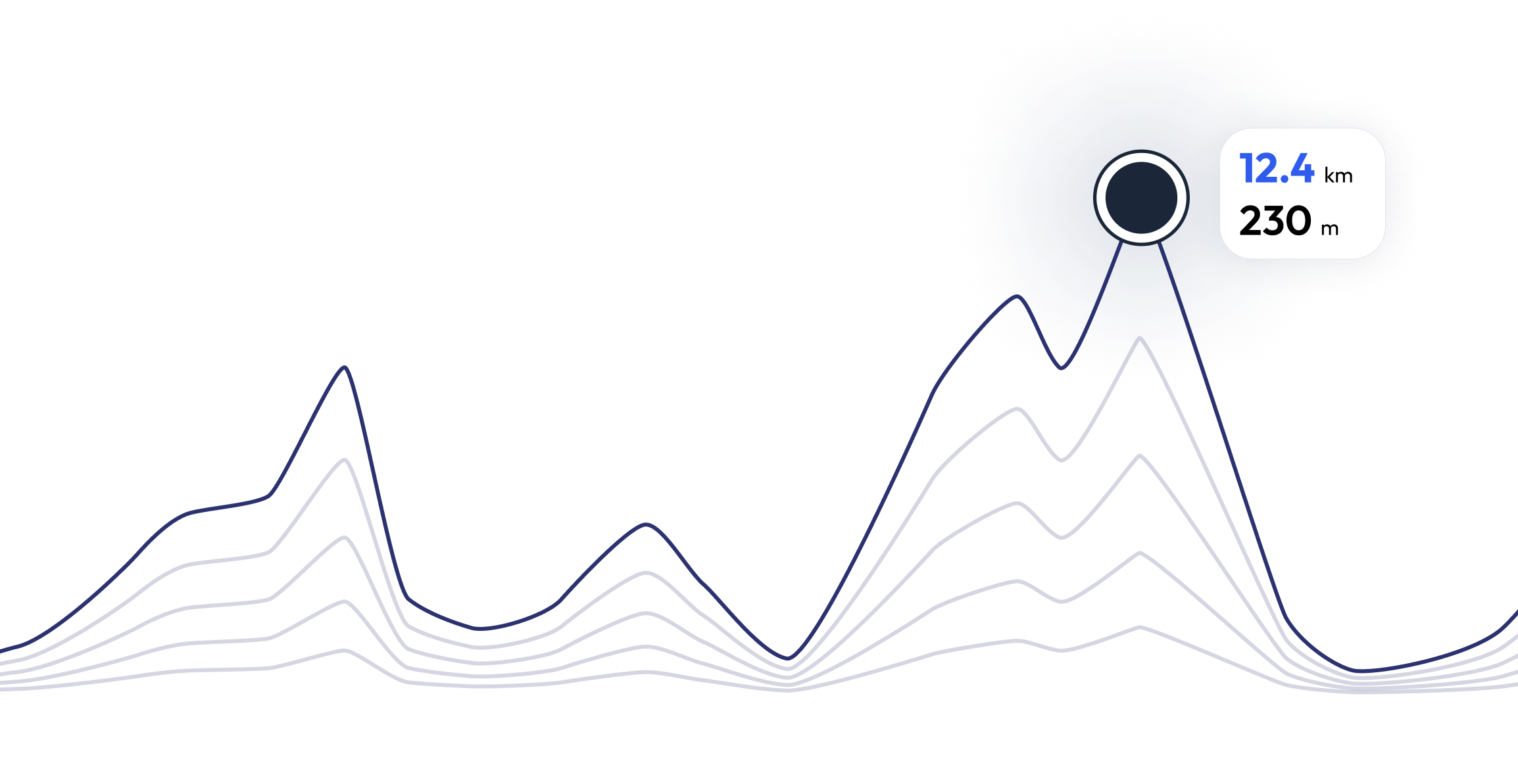
Register and unlock exclusive features
Registered community members can navigate each section of the elevation profile, and follow the coordinates on the map. They can also download the gpx file. Unlock these and many other exclusive features in a couple of clicks
GTPE Picos de Europa - Find your perfect running pace 43.5 mi
Curious what pace you need for each section of the course to reach your target time based on the elevation profile of the race? Try our pace calculator and discover different scenarios to optimize your GTPE Picos de Europa race tactics.
Calculated running time
05:50:00
0
km
22
m
4.33
min/km
1
km
102
m
5.12
min/km
2
km
83
m
4.47
min/km
3
km
11
m
4.23
min/km
4
km
26
m
4.32
min/km
FAQ - GTPE Picos de Europa 43.5 mi
The main event, GTPE Ultra, a 70-kilometer route with 5,300 meters of positive elevation gain that runs almost entirely through the western massif of the Picos de Europa. Its route passes through places such as the Cares Route, Culiembro and Trea Channels, Jultayu Peak, Vega de Ario or Covadonga Lakes.
GTPE Picos de Europa takes place at 27 Jun 2026
GTPE Picos de Europa takes place in Asturias, Spain
GTPE Picos de Europa: There are a total of 4 courses
The shortest distance available is 6.2 km, and the longest on is 43.5 km
Although there is no general rule for the minimum preparation time, we recommend at least 12 weeks of training for a race like GTPE Picos de Europa
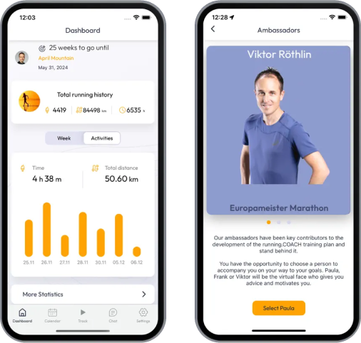
If you want to prepare for GTPE Picos de Europa, running.COACH offers dynamic training plans tailored to the requirements. Whether you're training for distance, speed or endurance, we have customized plans to help you reach your full potential on race day.
Register now
Train for 43.5 mi - GTPE Picos de Europa
GTPE Picos de Europa - Prepare yourself optimally for your race with running.COACH! Our training plans, supported by artificial intelligence, dynamically adapt to your progress and help you achieve your target time. Whether you're aiming for a personal best or planning a successful finish, structured workouts, precise feedback and intelligent adjustments will keep you motivated and well prepared. Become part of a community that will get you to the finish line stronger than ever before!
What runners say about us?
Be part of GTPE Picos de Europa – Join the running.COACH community and take your training to the next level!


