 Login
Login


The Flying Pig Marathon


About this event
 Road running
Official links

Find your perfect running pace
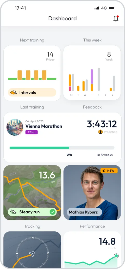
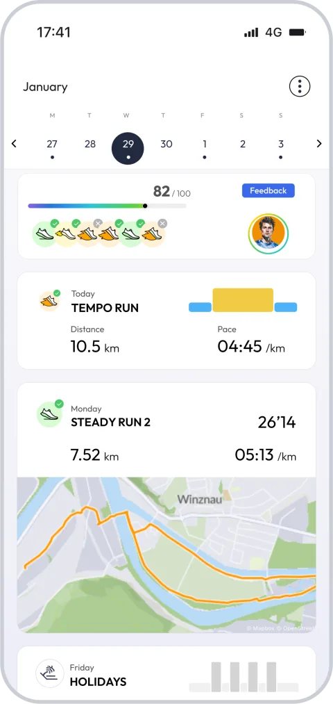
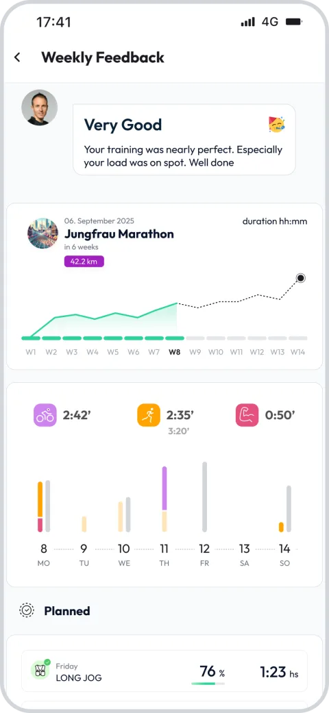
Try running.COACH free for 14 days


Other races at The Flying Pig Marathon
FAQ - The Flying Pig Marathon 26.2 mi
The race course starts in Downtown Cincinnati and crosses the Taylor-Southgate Bridge over the Ohio river into Northern Kentucky where it travels through Newport and crosses westward over the Licking River via the Fourth Street Bridge into Covington. From Covington the route takes the Clay Wade Bailey Bridge back over the Ohio River into Cincinnati. After looping westward the first leg ends east of downtown in Eden Park, a distance of 6.84 miles (11.01 km). The race course then makes its way east through East Walnut Hills, O'Bryonville, and Hyde Park and ends after 5.16 miles (8.30 km) at Richards Industries on Wasson Road. The third leg goes east to the village of Mariemont before looping back to head towards the river; it ends in Linwood, having traversed 7.67 miles (12.34 km). The final leg is 6.55 miles (10.54 km) to the finish line downtown. The last 7 km (4.3 mi) of the fourth leg follow the Ohio River Scenic Byway (US 52) along the Ohio River, heading downtown toward the finish line.
The Flying Pig Marathon -
When will it be held?
+
The Flying Pig Marathon -
Where is the venue?
+
The Flying Pig Marathon -
How many different courses can I choose from?
+
The Flying Pig Marathon -
What is the shortest and longest course?
+
The Flying Pig Marathon -
When should I start training?
+
The Flying Pig Marathon -
Is there a training plan to help me prepare?
+
Be part of The Flying Pig Marathon – Join the running.COACH community and take your training to the next level!
Thousands of runners train with a plan that adapts to them. Start yours today and arrive at the start line ready.
Test 14 days for free nowWhat runners say about us?
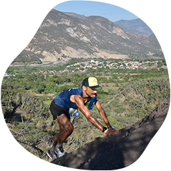

running.COACH has helped me plan my entire season for the year. I love the flexibility with which the training plan is adjusted when an annual goal changes. I am very happy with the way it plans my week, the accuracy of the pace and heart rates, and the ease of use of the app. I find the dashboard very accurate and the stats help me keep a clear track week after week. This year my goal is to reach 800 ITRA points at three mountain ultras in Colombia, and I hope to do it with the help of running.COACH.
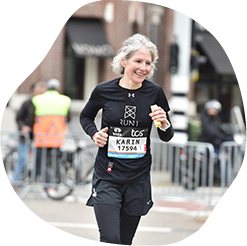
With the training program from running.COACH, I was able to achieve the goal of a "marathon" within a year with a varied training plan that was adapted to my performance. It is impressive how tailor-made this online training program is. My dream of finishing a marathon has come true. The different training units and the noticeable progress are very motivating.
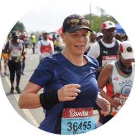
Thanks to the support of my running.COACH Gold Coach, Stefanie Meyer, this year became my year of success! Intensive and always personalised training plans and always the right words and encouragement have helped me to realise my dreams. I am now a finisher in the ultramarathon in South Africa, the Comrades Marathon.
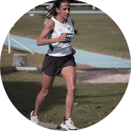
When I started training with running.COACH I found it hard to lower the intensity of each workout. But I continued because I believe that "less is more". With running.COACH I not only continue to improve my times and meet my goals but I feel strong and in very good shape. This is what allows me to finish a competition happy and keep on doing what i like the most: RUNNING!!
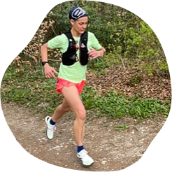
"When I started running again after a long break, it was clear to me that I wanted to train in a structured way. With the reference 'Viktor Röthlin' my confidence grew and I bought my first subscription, a silver subscription. I was enthusiastic from the beginning and my motivation increased from training session to training session. I followed the instructions very precisely and the result for my big goal, the SwissAlpine K43, was correspondingly perfect!"
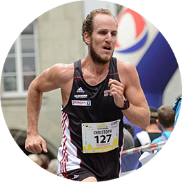
Thanks to continued training with running.COACH, I was able to clearly improve on distances ranging from 10km to mountain running and marathon in the past couple of years, without risking an injury. Those successes encourage me to aim at new targets time and time again.
 Top
Top