 Ingresa


The Flying Pig Marathon


Sobre este evento
 Carrera en ruta
Enlaces oficiales

Encuentra tu paso perfecto para la #RACE
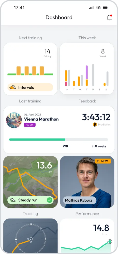
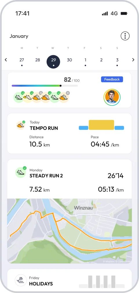
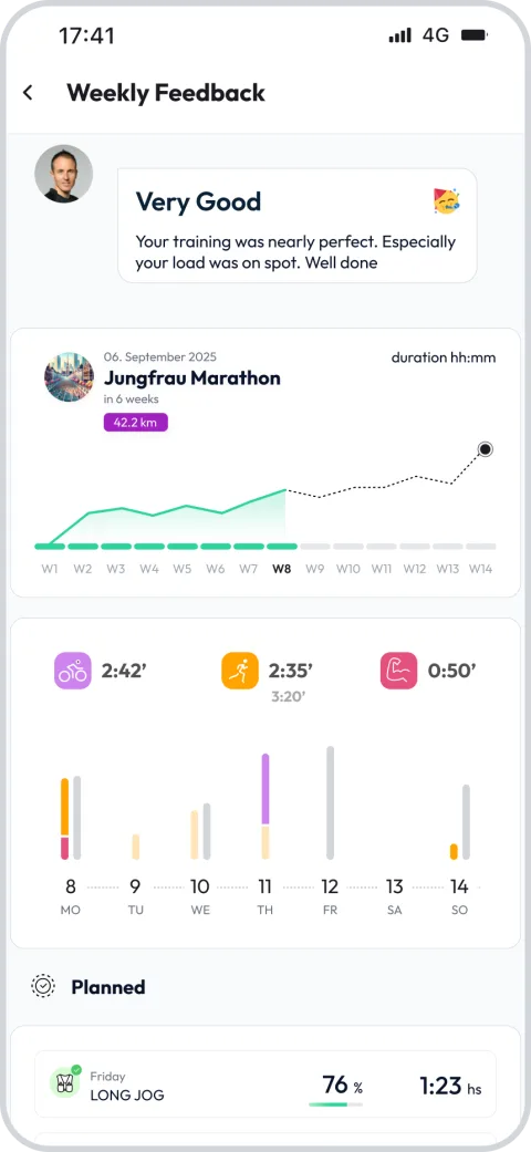
Regístrate y desbloquea funciones exclusivas


Otras carreras en The Flying Pig Marathon
Carrera en ruta
13.1mi
705ft
Carrera en ruta
6.2mi
207ft
Carrera en ruta
3.1mi
95ft
Preguntas frecuentes sobre The Flying Pig Marathon 26.2 mi
The race course starts in Downtown Cincinnati and crosses the Taylor-Southgate Bridge over the Ohio river into Northern Kentucky where it travels through Newport and crosses westward over the Licking River via the Fourth Street Bridge into Covington. From Covington the route takes the Clay Wade Bailey Bridge back over the Ohio River into Cincinnati. After looping westward the first leg ends east of downtown in Eden Park, a distance of 6.84 miles (11.01 km). The race course then makes its way east through East Walnut Hills, O'Bryonville, and Hyde Park and ends after 5.16 miles (8.30 km) at Richards Industries on Wasson Road. The third leg goes east to the village of Mariemont before looping back to head towards the river; it ends in Linwood, having traversed 7.67 miles (12.34 km). The final leg is 6.55 miles (10.54 km) to the finish line downtown. The last 7 km (4.3 mi) of the fourth leg follow the Ohio River Scenic Byway (US 52) along the Ohio River, heading downtown toward the finish line.
¿Cuándo empieza el The Flying Pig Marathon?
+
¿Dónde tiene lugar el The Flying Pig Marathon?
+
¿Cuántos recorridos diferentes están disponibles para el The Flying Pig Marathon?
+
¿Cuál es la distancia más corta y la más larga disponible para el The Flying Pig Marathon?
+
¿Cuándo debo comenzar a entrenar para el The Flying Pig Marathon?
+
¿Existe un plan de entrenamiento que me ayude a prepararme para el The Flying Pig Marathon?
+
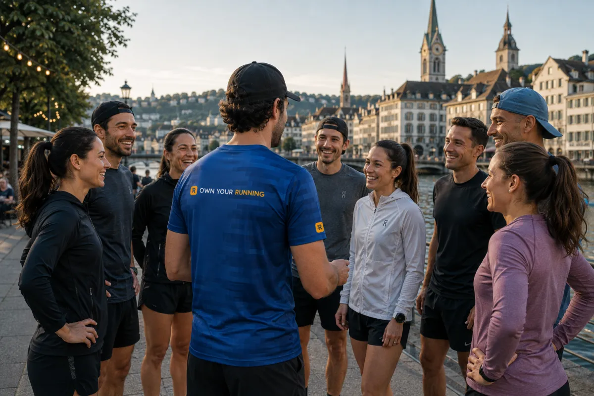
Participa en The Flying Pig Marathon – ¡Únete a la comunidad running.COACH y lleva tu entrenamiento al siguiente nivel!
Thousands of runners train with a plan that adapts to them. Start yours today and arrive at the start line ready.
Test 14 days for free nowQué dicen los corredores sobre nosotros
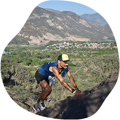

running.COACH me ha ayudado a planificar la temporada completa del año. Me encanta su flexibilidad cómo se adapta el plan de entrenamiento cuando uno de los objetivos del año cambia. Me encuentro muy agusto con la manera cómo planifica mi semana, la exactitud de los ritmos y ritmos cardíacos y la facilidad de uso de la aplicación. Su dashboard me parece muy acertado y las estadísticas es algo qué me ayuda a mantener la perspectiva clara semana a semana. Este año mi objetivo es conseguir 800 puntos ITRA corriendo tres ultras de montaña en Colombia y espero conseguirlos con la ayuda de running.COACH.
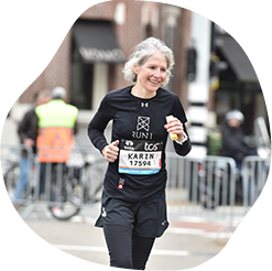
Con el programa de entrenamiento running.COACH pude alcanzar el objetivo de un "maratón" en un año con un plan de entrenamiento variado y adaptado a mi rendimiento. Es impresionante lo hecho a medida que está este programa de entrenamiento en línea. Mi sueño de terminar un maratón se ha hecho realidad. Las diferentes sesiones de entrenamiento y el progreso notable son muy inspiradores.
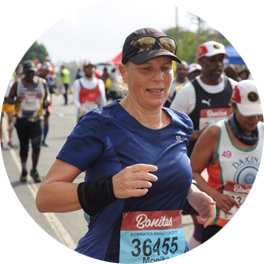
Gracias al apoyo de mi entrenadora de running.COACH Gold, Stefanie Meyer, ¡este año se convirtió en mi año de éxito! Planes de entrenamiento intensivos y siempre personalizados y con las palabras adecuadas que me han ayudado a hacer realidad mis sueños. Ahora soy finalista del ultramaratón Comrades Marathon en Sudáfrica.
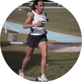
Cuando comencé a entrenar con Running.COACH me costó bajar la intensidad y frecuencia de cada entrenamiento. Pero continué con la suscripción porque creo que “menos es más”. Con running.COACH no sólo sigo mejorando mis tiempos y cumpliendo mis objetivos, sino que me siento fuerte y en muy buena forma. Esto es lo que me permite terminar una competencia feliz y seguir haciendo lo que más me gusta: ¡CORRER!
"Cuando comencé a correr de nuevo después de un largo descanso, tenía claro que quería entrenar de manera estructurada. Con la referencia de Viktor Röthlin mi confianza creció y compré mi primera suscripción, una suscripción plateada. Estaba entusiasmado desde el principio y mi motivación aumentó de una sesión de entrenamiento a otra. Seguí las instrucciones con mucha precisión y el resultado de mi gran objetivo, el SwissAlpine K43, ¡fue perfecto!"
“”Gracias a un entrenamiento continuo con running.COACH fui capaz de mejorar en un amplio rango de distancias, desde carreras de 10km, montaña y maratón, en los últimos años sin riesgo de lesiones. Estos éxitos me motivan a alcanzar nuevas metas y tiempos en el futuro.”"
 Arriba