La 6000D lacs
La Plagne de Miolène
,
フランス
7月 31 - 8月 02
A mythical race and the first of its kind at the time, the 6000D remains a challenge for most runners. It's no small feat to climb from apple trees to the Glacier!
A positive difference in altitude of 3400m for a total course of 67km. The route takes runners from the village of Aime in the valley to the summit of the Bellecôte Glacier at an altitude of 3047m, passing through the high altitude resorts of Grande Plagne before descending through the forest at La Plagne Montchavin-les Coches and finishing along the Isère river.
A high level marked course, 95% on paths and tracks
6.8
mi
La 6 Découverte 11K
6.8mi
1946ft
1946ft
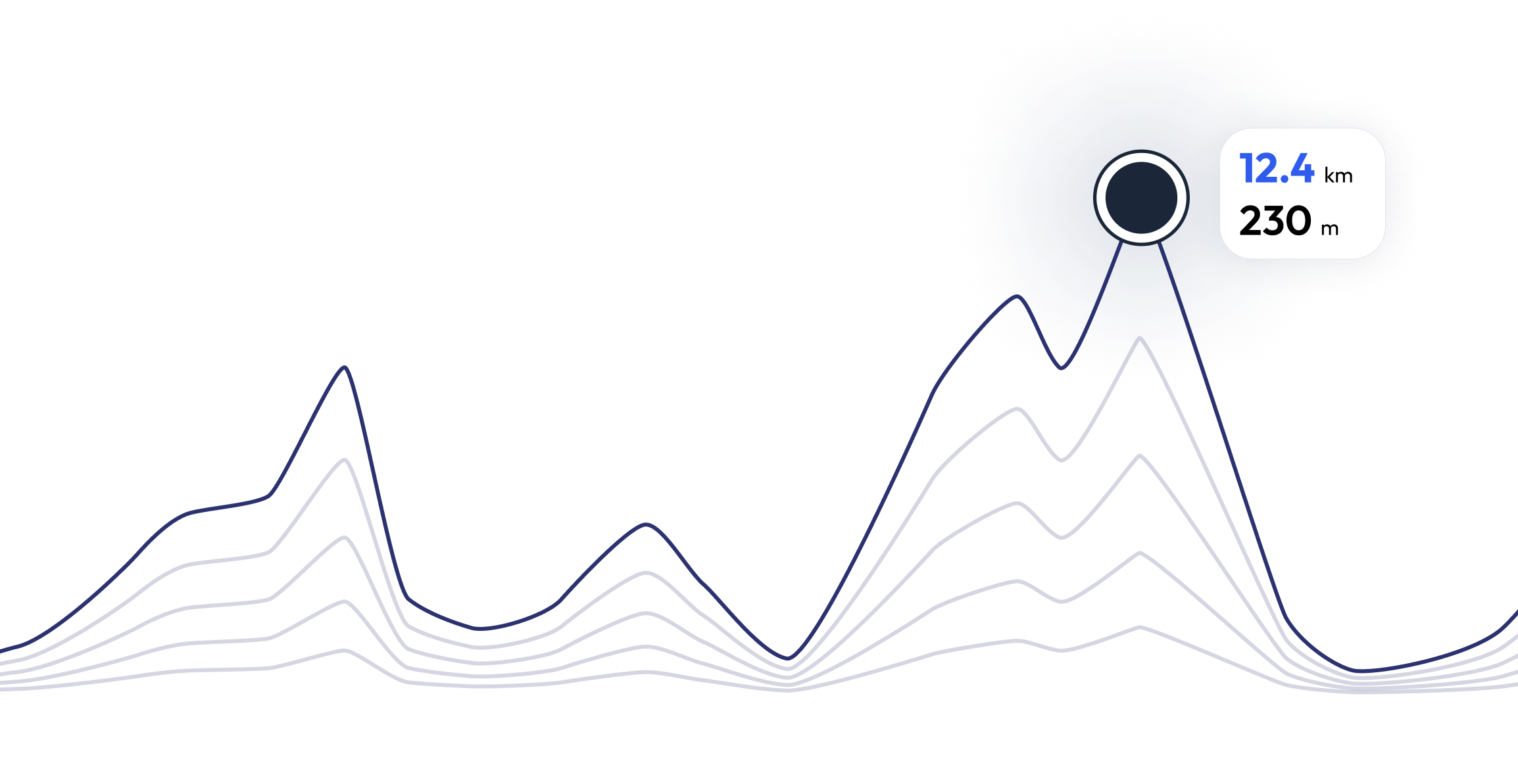
専用機能の登録と解除
登録されたコミュニティメンバーは、標高プロファイルの各セクションをナビゲートし、地図上の座標をたどり、GPXファイルをダウンロードすることができます。数回クリックするだけで、これらやその他多くの限定機能のロックを解除できます。
La 6000D lacs - 理想のランニングペースを見つけよう 6.8 mi
レースの標高プロファイルに基づき、目標タイムに到達するためにコースの各セクションで必要なペースが知りたいですか?ペース計算を試して、La 6000D lacs レース戦術を最適化するためのさまざまなシナリオを発見してください。
計算されたランタイム
00:55:00
0
km
22
m
4.33
min/km
1
km
102
m
5.12
min/km
2
km
83
m
4.47
min/km
3
km
11
m
4.23
min/km
4
km
26
m
4.32
min/km
よくある質問 - La 6000D lacs 6.8 mi
Starting and finishing in Plagne Centre, this 11km Trail with 600m (D+) will take you towards Plagne Villages to reach Plagne Bellecôte. Then you will take the ascent to Dou du Praz by the footpath to go back down towards Lac Vert and then climb to Plagne Aime 2000 to come back down to the finish in Plagne Centre.Starting and finishing in Plagne Centre, this 11km Trail with 600m (D+) will take you towards Plagne Villages to reach Plagne Bellecôte. Then you will take the ascent to Dou du Praz by the footpath to go back down towards Lac Vert and then climb to Plagne Aime 2000 to come back down to the finish in Plagne Centre.
La 6000D lacs は31 7月 2025に行われる。
La 6000D lacs は #場所、#国 で開催される。
La 6000D lacs: 7 コースは全部で5つあります。
最短距離は6.8 km、最長距離は42.9 kmである。
最低準備期間に一般的なルールはないが、La 6000D lacsのようなレースでは少なくとも12週間のトレーニングを推奨する。
もしあなたが La 6000D lacs に向けて準備したいのであれば、running.COACHは要求に合わせたダイナミックなトレーニングプランを提供します。距離、スピード、持久力など、どのようなトレーニングでも、レース当日にあなたの潜在能力を最大限に発揮できるよう、カスタマイズされたプランをご用意しています。
今すぐ登録
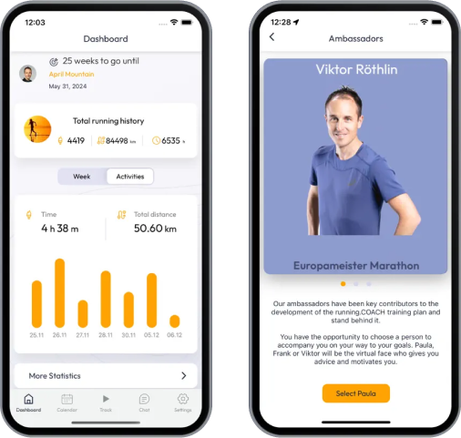
トレーニング 6.8 mi of La 6000D lacs
La 6000D lacs - running.COACHでレースに最適な準備を!人工知能がサポートするトレーニング・プランは、あなたの進歩に合わせて動的に適応し、目標タイムの達成をサポートします。自己ベストを目指す人も、完走を目指す人も、体系化されたトレーニング、的確なフィードバック、インテリジェントな調整で、モチベーションを保ちながら万全の準備を。これまで以上に力強くゴールを目指せるコミュニティの一員になりましょう!
ランナーは私たちのことをどう思っているのだろう?
La 6000D lacs - running.COACHコミュニティの最初のメンバーとして参加してください。


