Pikes Peak Marathon

Registrati e sblocca funzionalità esclusive
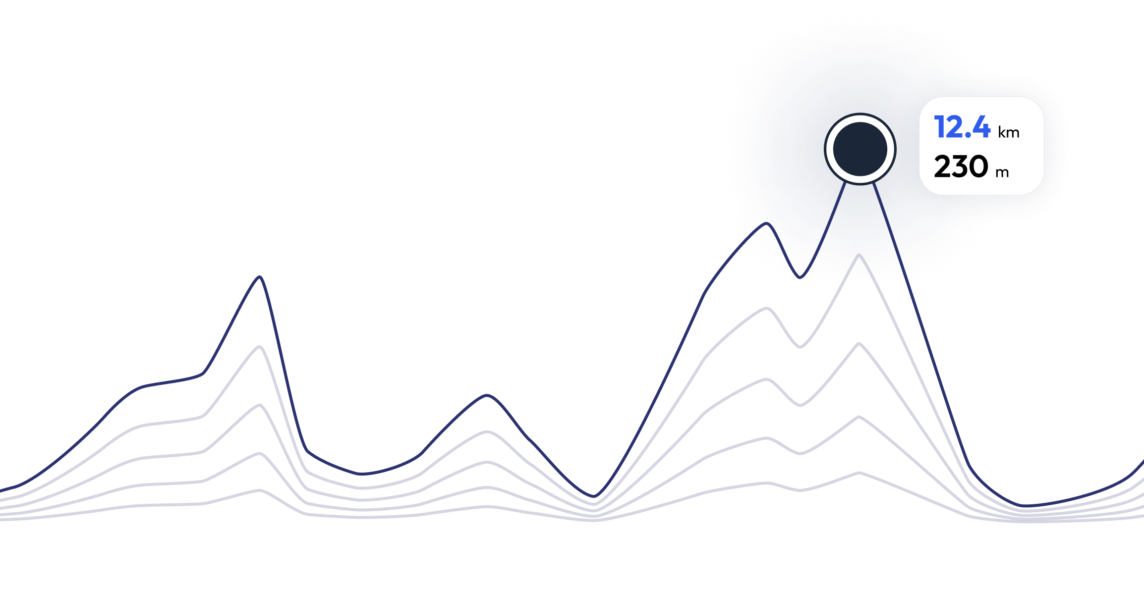
Pikes Peak Marathon – Trova il tuo ritmo di corsa perfetto 25.6 mi
FAQ - Pikes Peak Marathon 25.6 mi
Because of the nature of the run (dirt trails, rock, and other natural obstacles) and the high altitude, the race is much more difficult than standard 42.195-kilometer (26.219 mi) marathons. Winning times for the marathon are typically just under four hours (compared to elite "flatland" marathon times of just over two hours). Although the average grade of the slope is 11%, some sections are much steeper because the central portion of the race is relatively flat. The initial three miles (5 km) are very steep. The central 7 miles (11 km) start as rolling terrain, but become progressively steeper toward the end. The top 3 miles (4.8 km) are above timberline and require some rock scrambling to reach the summit. Oxygen levels drop progressively as altitude rises, further compounding the uphill ordeal.
Allenati per 25.6 mi - Pikes Peak Marathon


Cosa dicono i corridori di noi?
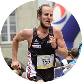
Said López
running.COACH mi ha aiutato a pianificare tutta la mia stagione annuale. Mi piace la flessibilità con cui il piano di allenamento viene modificato quando un obiettivo annuale cambia. Sono molto soddisfatto del modo in cui pianifica la mia settimana, dell'accuratezza del ritmo e delle frequenze cardiache e della facilità d'uso dell'app. Trovo che il dashboard sia molto accurato e le statistiche mi aiutano a mantenere una chiara visione d'insieme settimana per settimana. Quest'anno il mio obiettivo è quello di raggiungere 800 punti ITRA in tre gare di ultras di montagna in Colombia e spero di riuscirci con l'aiuto di running.COACH.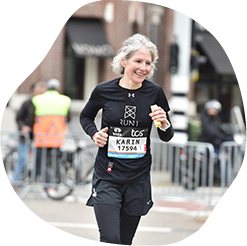
Karin Stoop
Con il programma di allenamento di running.COACH, ho potuto realizzare l'obiettivo di una "maratona" entro un anno con un piano di allenamento vario e adattato alle mie prestazioni. È impressionante quanto questo programma di allenamento online sia fatto su misura per te. Il mio sogno di finire una maratona si è avverato. Le diverse unità di allenamento e gli evidenti progressi sono molto stimolanti.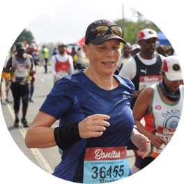
Monika Cremosnik
Grazie al supporto della mia running.COACH Gold Coach, Stefanie Meyer, quest'anno è stato il mio anno del successo! Piani di allenamento intensivi e personalizzati e sempre le parole giuste e l'incoraggiamento adeguato mi hanno aiutato a realizzare i miei sogni. Ora sono un finisher nell'ultramaratona in Sudafrica, la Comrades Marathon.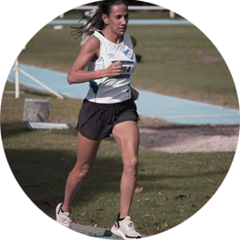
Silvia Perez
Quando ho iniziato ad allenarmi con running.COACH, ho trovato difficile ridurre l'intensità di ogni sessione di allenamento. Ma ho continuato su questa strada perché credo nell’idea "meno è meglio". Con running.COACH non solo posso migliorare i miei tempi e raggiungere i miei obiettivi, ma mi sento anche forte e in ottima forma. Questo mi permette di finire una gara soddisfatta e continuare a fare quello che mi piace di più: CORRERE!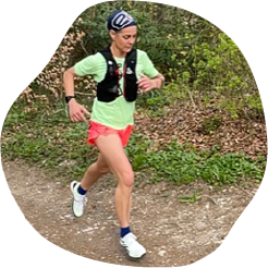
Angela Heller
"Quando ho ricominciato a correre dopo una lunga pausa, sapevo che volevo allenarmi in modo strutturato. Con la referenza 'Viktor Röthlin' la mia fiducia è cresciuta e ho comprato il mio primo abbonamento, un abbonamento d'argento. Ero entusiasta fin dall'inizio e la mia motivazione aumentava di allenamento in allenamento. Ho seguito le istruzioni molto precisamente e il risultato ottenuto per il mio grande obiettivo, la SwissAlpine K43, è stato di conseguenza perfetto!"