 Login
Login


The Flying Pig Marathon


Über diesen Event
 Strassenlauf
Offizielle Links

#RACE - Finde dein perfektes Lauftempo
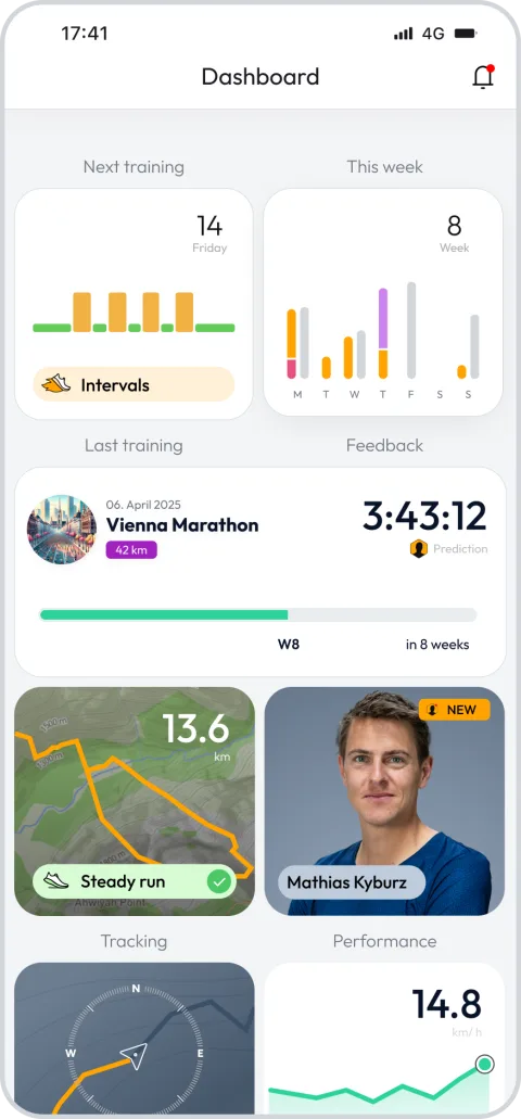
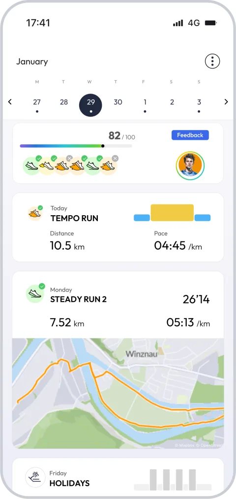
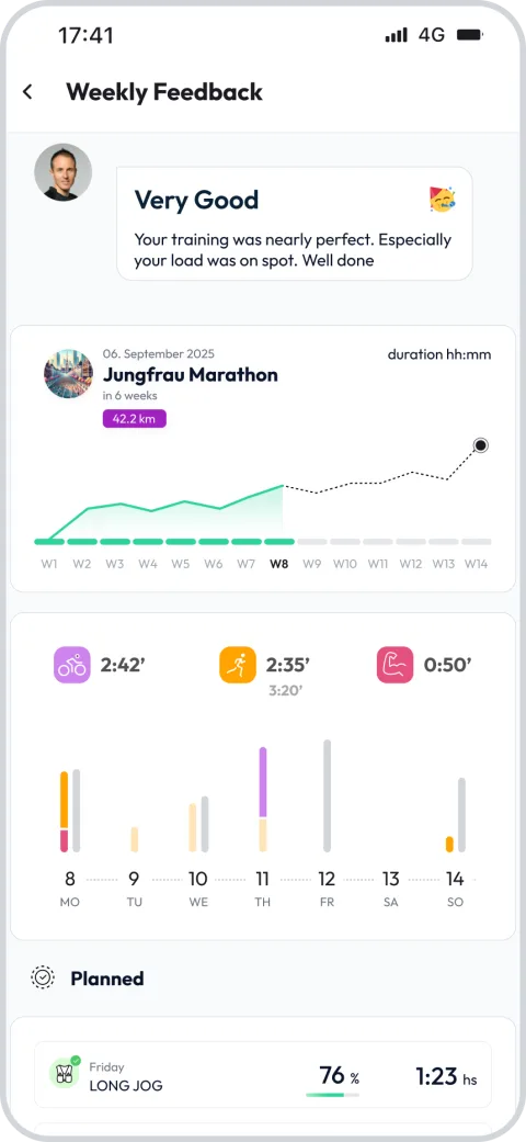
Registriere dich und schalte exklusive Funktionen frei


Weitere Rennen bei The Flying Pig Marathon
Strassenlauf
13.1mi
705ft
Strassenlauf
6.2mi
207ft
Strassenlauf
3.1mi
95ft
FAQ - The Flying Pig Marathon 26.2 mi
The race course starts in Downtown Cincinnati and crosses the Taylor-Southgate Bridge over the Ohio river into Northern Kentucky where it travels through Newport and crosses westward over the Licking River via the Fourth Street Bridge into Covington. From Covington the route takes the Clay Wade Bailey Bridge back over the Ohio River into Cincinnati. After looping westward the first leg ends east of downtown in Eden Park, a distance of 6.84 miles (11.01 km). The race course then makes its way east through East Walnut Hills, O'Bryonville, and Hyde Park and ends after 5.16 miles (8.30 km) at Richards Industries on Wasson Road. The third leg goes east to the village of Mariemont before looping back to head towards the river; it ends in Linwood, having traversed 7.67 miles (12.34 km). The final leg is 6.55 miles (10.54 km) to the finish line downtown. The last 7 km (4.3 mi) of the fourth leg follow the Ohio River Scenic Byway (US 52) along the Ohio River, heading downtown toward the finish line.
The Flying Pig Marathon -
Wann ist die Durchführung?
+
The Flying Pig Marathon -
Wo befindet sich der Austragungsort?
+
The Flying Pig Marathon -
Wie viele verschiedene Strecken gibt es?
+
The Flying Pig Marathon -
Was ist die kürzeste und längste Strecke?
+
The Flying Pig Marathon -
Wann sollte ich mit dem Training beginnen?
+
The Flying Pig Marathon -
Gibt es einen Trainingsplan, der mir bei der Vorbereitung hilft?
+
Sei dabei bei The Flying Pig Marathon – Schliesse dich der running.COACH-Community an und bring dein Training auf das nächste Level!
Thousands of runners train with a plan that adapts to them. Start yours today and arrive at the start line ready.
Test 14 days for free nowWas Läufer*innen über uns sagen?
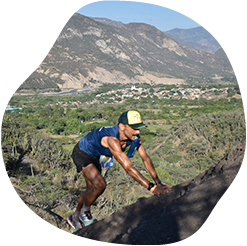

running.COACH hat mir dabei geholfen, meine gesamte Saison für das Jahr zu planen. Ich liebe die Flexibilität, mit der der Trainingsplan angepasst wird, wenn ein Jahresziel sich ändert. Ich bin sehr glücklich mit der Art und Weise, wie sie meine Woche plant, mit der Genauigkeit der die Pace und Herzfrequenzen und mit der Benutzerfreundlichkeit der App. Ich finde das Dashboard sehr genau, und die Statistiken helfen mir, Woche für Woche einen klaren Überblick zu behalten. Dieses Jahr ist mein Ziel, 800 ITRA-Punkte bei drei Berg-Ultras in Kolumbien zu erreichen, und ich hoffe, dies mit Hilfe von running.COACH zu schaffen.
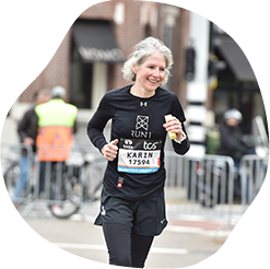
Mit dem Trainingsprogramm von running.COACH konnte ich mit einem abwechslungsreichen und meiner Leistungsfähigkeit angepassten Trainingsplan das Ziel «Marathon» innerhalb eines Jahres umsetzen. Es beeindruckt, wie massgeschneidert dieses Online-Trainingsprogramm ist. Mein Traum vom Marathonfinish hat sich erfüllt. Die unterschiedlichen Trainingseinheiten und die spürbaren Fortschritte sind sehr motivierend.
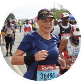
Dank der Unterstützung meines running.COACH Gold Coach, Stefanie Meyer, wurde dieses Jahr zu meinem Erfolgsjahr! Intensive und immer persönlich der Situation angepasste Trainingspläne und die stets richtigen Worte und Zusprüche haben mir geholfen meine Träume zu verwirklichen. Ich bin nun Finisher des Ultramarathons in Südafrika dem Comrades Marathon.
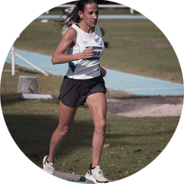
Als ich anfing, mit running.COACH zu trainieren, fiel es mir schwer, die Intensität der einzelnen Trainingseinheiten zu reduzieren. Aber ich habe weitergemacht, weil ich glaube, dass "weniger mehr ist". Mit running.COACH kann ich nicht nur meine Zeiten verbessern und meine Ziele erreichen, sondern ich fühle mich auch stark und in sehr guter Form. Das ermöglicht es mir, einen Wettkampf glücklich zu beenden und weiterhin das zu tun, was ich am meisten mag: LAUFEN!!!
„Als ich nach längerer Sportpause wieder mit dem Lauftraining startete, war für mich klar, dass ich strukturiert trainieren möchte. Mit der Referenz 'Viktor Röthlin' wuchs mein Vetrauen und ich löste mein erstes Abo, ein Silber-Abo. Ich war von Beginn an begeistert und meine Motivation steigerte sich von Training zu Training. Ich setzte die Vorgaben sehr genau um und bei meinem grossen Ziel dem SwissAlpine K43 war dann auch das Resultat dementsprechend perfekt!“
„Dank kontinuierlichem Training mit running.COACH konnte ich mich in den letzten Jahren über Distanzen von 10 km über Berglauf bis zum Marathon deutlich steigern, ohne Verletzungen zu riskieren. Diese Erfolge motivieren mich, immer wieder neue Ziele anzuvisieren.“
 Top
Top