Pikes Peak Marathon

Inscris-toi et débloque des fonctionnalités exclusives
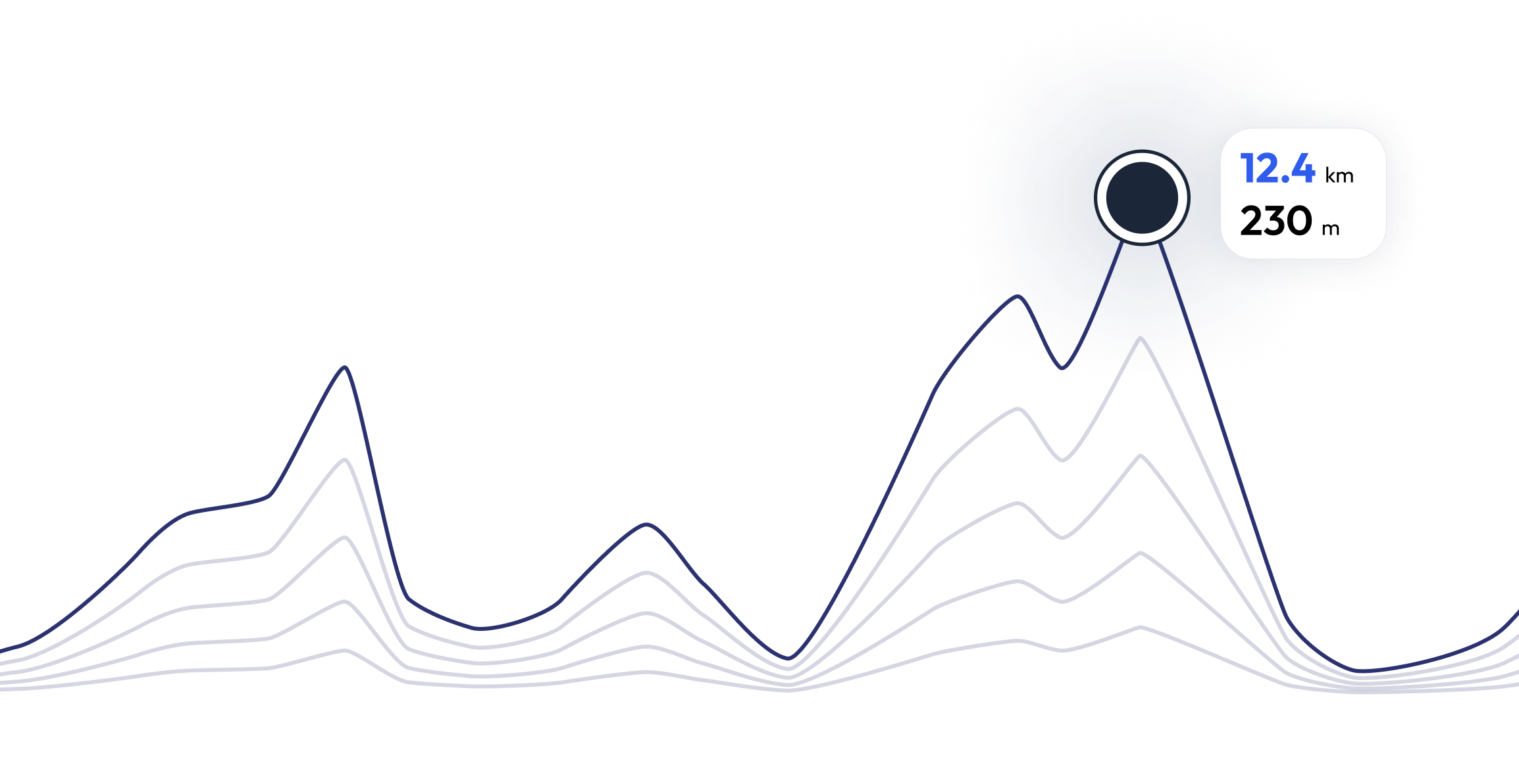
Pikes Peak Marathon – Trouve ton rythme de course parfait 25.6 mi
FAQ sur Pikes Peak Marathon 25.6 mi
Because of the nature of the run (dirt trails, rock, and other natural obstacles) and the high altitude, the race is much more difficult than standard 42.195-kilometer (26.219 mi) marathons. Winning times for the marathon are typically just under four hours (compared to elite "flatland" marathon times of just over two hours). Although the average grade of the slope is 11%, some sections are much steeper because the central portion of the race is relatively flat. The initial three miles (5 km) are very steep. The central 7 miles (11 km) start as rolling terrain, but become progressively steeper toward the end. The top 3 miles (4.8 km) are above timberline and require some rock scrambling to reach the summit. Oxygen levels drop progressively as altitude rises, further compounding the uphill ordeal.
Entraîne-toi pour 25.6 mi - Pikes Peak Marathon


Que disent les coureurs sur nous ?
Said López
running.COACH m'a aidé à planifier toute ma saison annuelle. J'aime la flexibilité avec laquelle le plan d'entraînement est adapté lorsqu'un objectif annuel change. Je suis très content de la façon dont elle planifie ma semaine, de la précision des allures et des fréquences cardiaques et de la facilité d'utilisation de l'application. Je trouve le tableau de bord très précis et les statistiques m'aident à garder une vue d'ensemble claire semaine après semaine. Cette année, mon objectif est d'atteindre 800 points ITRA dans trois ultras de montagne en Colombie et j'espère y arriver avec l'aide de running.COACH.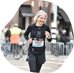
Karin Stoop
Grâce au programme d'entraînement de running.COACH, j'ai pu réaliser mon objectif "marathon" en un an grâce à un plan d'entraînement varié et adapté à mes capacités. Je suis impressionné de voir à quel point ce programme d'entraînement en ligne est taillé sur mesure. Mon rêve de terminer un marathon s'est réalisé. Les différentes séances d'entraînement et les progrès perceptibles sont très motivants.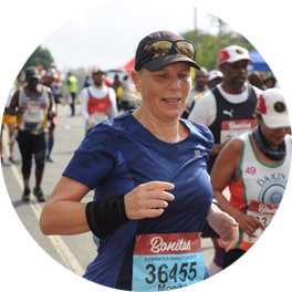
Monika Cremosnik
Grâce au soutien de mon coach running.COACH Gold, Stefanie Meyer, cette année a été l'année de mon succès ! Des plans d'entraînement intensifs et personnalisés et toujours les bons mots et les encouragements m'ont aidé à réaliser mes rêves. Je suis maintenant finaliste de l'ultra-marathon d'Afrique du Sud, le Comrades Marathon.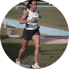
Silvia Perez
Lorsque j'ai commencé à m'entraîner avec running.COACH, j'ai trouvé difficile de réduire l'intensité de chaque séance d'entraînement. Mais j'ai continué sur cette voie parce que je crois en l'idée de "moins, c'est plus". Avec running.COACH, je peux non seulement améliorer mes temps et atteindre mes objectifs, mais je me sens également fort et en bonne forme. Cela me permet de terminer une compétition satisfait et de continuer à faire ce que j'aime le plus : COURIR !!!!.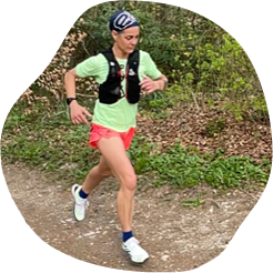
Angela Heller
Lorsque j'ai recommencé à courir après une longue pause, il était clair pour moi que je voulais m'entraîner de manière structurée. Avec la référence "Viktor Röthlin", ma confiance a augmenté et j'ai acheté mon premier abonnement, un abonnement en argent. J'étais enthousiaste dès le début et ma motivation augmentait de séance d'entraînement en séance d'entraînement. J'ai suivi les instructions de manière très précise et le résultat pour mon grand objectif, le SwissAlpine K43, a été parfait en conséquence !